It's one thing to document your families tells in Google Earth, but you need to be able to share it with others, and let that story be told. One way to do this without your family having to download their own Google Earth is to save and/or print images from your globe. This can all be done really easy and takes no time at all.
First zoom, rotate, tilt your globe to wherever, whatever your are wanting to share with your family. Then make sure you have what ever item you are wanting to share click ON in your MY PLACES folder or any other layers you want to share. Then all you have to do is go to File > Save > Save as Image. Then a pop up window will show up to select and name your image location and title. Then hit Save. You're done. You now can go to your file location and email to your friends and family like any other file.
More tips and things to know about printing Google Earth Images.
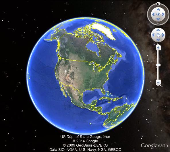 |
| 800x600 |
One thing you need to know is Google Earth only save at 72dpi. That is fixed, not much you can do about that. However your pixels is some what in your your control. Understand this first, with Google Earth Pro you get a lot more features. What I am talking about here is just the free version of Google Earth. The pixels you save your image at is somewhat in your control based on what the resolution of your screen is. I'm talking about going outside your Google Earth and looking at the resolution on your computer screen. If your computer screen is at 800x600 then you will have a lower resolution image than if you had your screen at 1024x768 or if you have a 4K screen you could have resolution about 3840 x 2160.
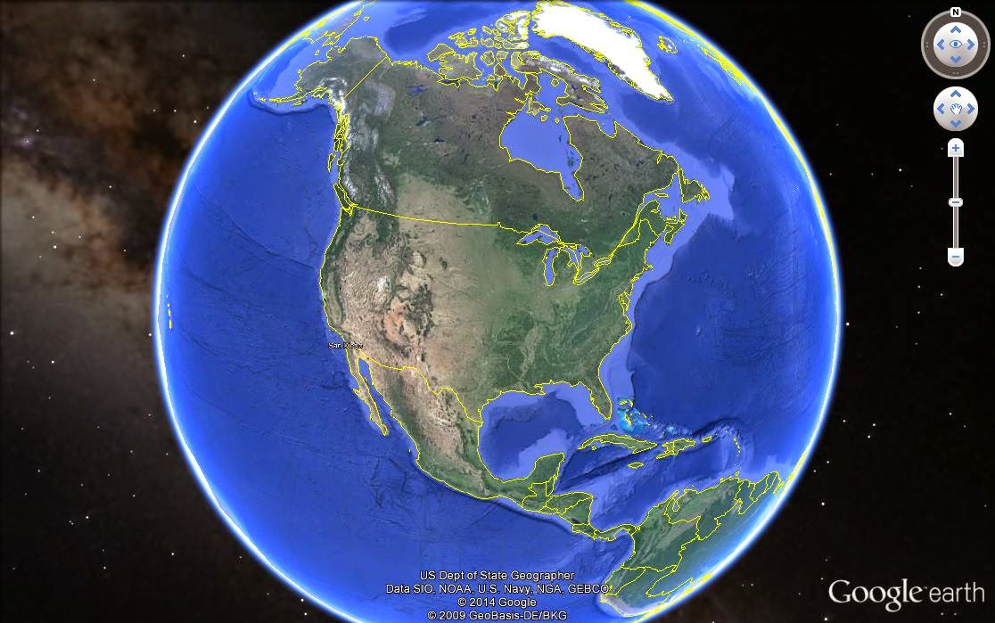 |
| 1024x768 |
Another thing about Google Earth that isn't the best because you lose information is, you can only have one balloon open at a time. So if you wanted to share info about multiple placemarkers you would only be able to display the info from the placemarkers balloon one at a time. There really isn't a work around for this but to add the missing info to the email, powerpoint, or printing in on the back of the image. ie. When I print a cemetery map, I will save the image and then print an info sheet on the back of the image that explains who, what, and when the placemarker is talking about.